

The Complete Guide to Drone Photography in Real Estate: From Beginner to Professional
Drone photography has revolutionized real estate marketing by offering spectacular aerial perspectives that were once impossible or prohibitively expensive to capture. This comprehensive guide will help you master the art of drone photography for real estate, covering everything from legal requirements to advanced shooting techniques.
Getting Started with Drone Photography
Drone Photography in Real Estate
Legal Requirements and Certification
- Obtain FAA certification (Part 107 license) for commercial drone operations
- Study materials cover airspace regulations, weather patterns, and flight operations
- Exam preparation typically takes 15-20 hours of dedicated study
- Register your drone with the FAA
- Required for all drones weighing over 0.55 lbs
- Registration must be renewed every three years
- Maintain appropriate insurance coverage
- Liability insurance (minimum $1 million recommended)
- Equipment insurance for drone and accessories
- Check local regulations and airspace restrictions
- Use apps like AirMap or B4UFLY for airspace information
- Obtain necessary permits for restricted areas
Essential Equipment and Investment
- Professional-grade drone with GPS stabilization
- DJI Mavic 3 Pro or similar quality recommended
- Minimum 3-axis gimbal stabilization
- Obstacle avoidance systems
- High-resolution camera specifications
- Minimum 12MP resolution
- 1-inch sensor or larger
- Adjustable aperture preferred
- Essential accessories
- Multiple batteries (minimum 3)
- Multi-battery charging hub
- ND filter set (ND4, ND8, ND16, ND32)
- Polarizing filters
- Professional carrying case
- Tablet or large phone for monitoring
Advanced Planning and Preparation
Comprehensive Pre-Flight Checklist
- Weather assessment
- Wind speed under 15mph
- No precipitation forecast
- Cloud cover and visibility conditions
- Best times: early morning or late afternoon
- Location scouting
- Identify take-off and landing zones
- Map out flight paths
- Note potential obstacles (trees, power lines)
- Check cellular coverage for live streaming
- Administrative preparation
- Property owner’s written permission
- Local authority permits if required
- Flight plan documentation
- Insurance verification
Professional Shot Types and Compositions
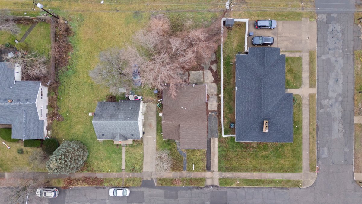
Establishing Shots (Property Overview)
- High-altitude perspective (200-400 feet)
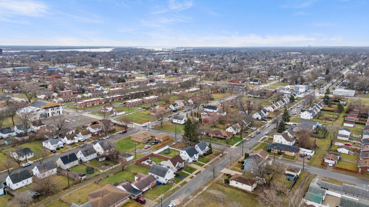
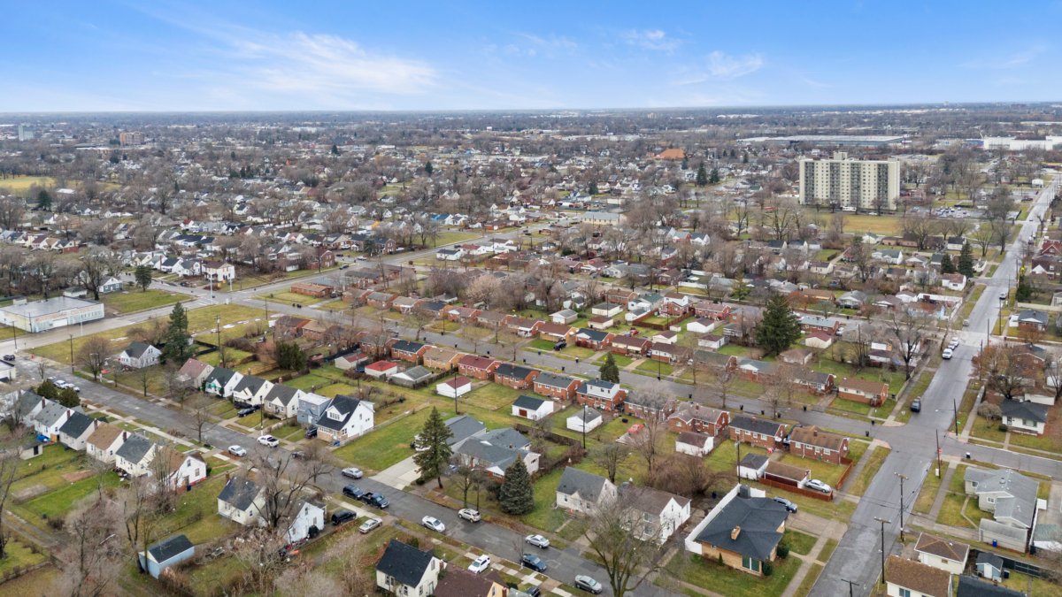
- Full property context within neighborhood
- Relationship to nearby amenities
- Property boundaries visualization
- Dynamic reveal techniques
- Ascending reveal shots
- Backward tracking reveals
- Orbit movements
- Front approach sequences
- Low-altitude tracking shots
- Gradual elevation changes
- Leading lines composition
Feature-Specific Photography
- Outdoor amenities
- Pool and water features
- Tennis courts and sports facilities
- Entertainment areas
- Landscaping features
- Property boundaries
- Acreage visualization
- Natural boundaries
- Access points
- Contextual elements
- Proximity to schools
- Shopping centers
- Parks and recreation
- Transportation access
Technical Mastery: Camera Settings and Controls
Drone Photography in Real Estate
Professional Camera Configuration
- Resolution and format settings
- RAW + JPEG shooting
- Maximum resolution enabled
- D-Log color profile when available
- Exposure settings
- Manual mode operation
- Base ISO (100-400)
- Minimum 1/500 shutter speed
- Aperture selection for depth of field
- Advanced shooting features
- AEB (3-5 bracket range)
- Focus stacking capabilities
- Panorama modes
Advanced Flight Techniques
- Cinematic movements
- Orbital patterns
- Reveal transitions
- Parallax effects
- Dolly zoom techniques
- Specialized applications
- Mapping and surveying
- 3D modeling capture
- Virtual tour integration
Post-Production Excellence
Professional Editing Workflow
- Raw processing
- Color temperature adjustment
- Exposure optimization
- Lens correction
- Noise reduction
- Advanced techniques
- HDR merging and tone mapping
- Perspective correction
- Selective adjustments
- Sky replacement
- Final output preparation
- Size optimization for different platforms
- Color space selection
- Metadata embedding
Marketing Integration and Presentation
Drone Photography in Real Estate
Content Strategy
- Platform-specific optimization
- MLS requirements
- Social media formats
- Website galleries
- Virtual tour integration
- Presentation methods
- Property showcase videos
- Interactive virtual tours
- Social media stories
- Print marketing materials
Safety and Risk Management
Comprehensive Safety Protocols
- Pre-flight safety measures
- Equipment inspection checklist
- Weather condition verification
- Flight path clearance
- Emergency procedures review
- In-flight monitoring
- Battery management
- Signal strength tracking
- Obstacle awareness
- Wind condition updates
- Emergency procedures
- Return-to-home protocols
- Communication plans
- Incident reporting procedures
Success in drone real estate photography requires dedication to mastering technical skills, understanding legal requirements, and maintaining the highest safety standards. With proper training, equipment, and attention to detail, you can create compelling aerial imagery that transforms property marketing and provides unique perspectives that captivate potential buyers.
Remember that this field continues to evolve with new technology and regulations. Stay current with industry developments, maintain your certifications, and regularly update your skills to remain competitive in this exciting and growing specialization.
Contact me for the best real estate photo editing service.